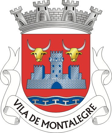
about the place
Montalegre is a municipality in the District of Vila Real, in the Alto Tâmega sub-region, covering 805.46 km² and home to 9,261 inhabitants (2021 census), spread across 25 parishes. To the north it borders Galicia; around it lie Chaves, Boticas, Cabeceiras de Basto, Vieira do Minho and Terras de Bouro.
Together with Boticas, it forms the Barroso region. Just over 26% of the municipality, around 212 km², falls within the Peneda-Gerês National Park — the largest share among the park's municipalities.